GPS
-24.0732, 28.1420
Lead Partner(s)
UNESCO, CSIR, C4ES, Unique
Biome
Savanna
Hectares
894,041 ha
Land Use (%)
Natural 93%; Cultivation 3%; Plantation 1%; Urban 1%
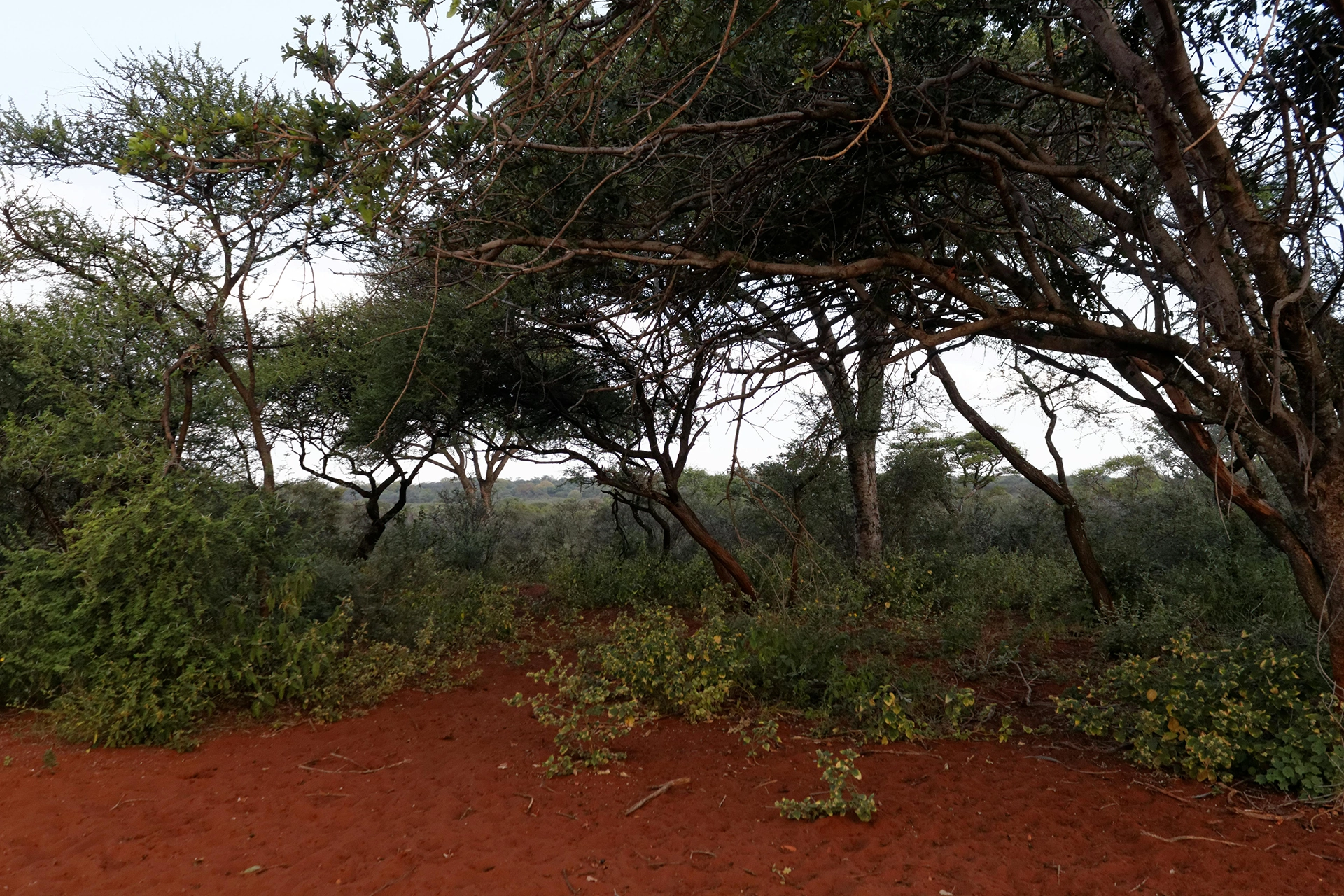
The Waterberg plateau, a UNESCO Biosphere Reserve and Strategic Water Source Area, anchors the Mokolo and Limpopo river catchments. It combines exceptional biodiversity with cultural heritage sites such as San rock art and Makapan Valley. Degradation from overgrazing, deforestation, and land fragmentation threatens its ecological integrity. ReLISA supports rangeland rehabilitation, catchment stewardship, and alien clearing. Looking forward, biodiversity credits, eco-tourism ventures, and water fund partnerships create opportunities for blended finance. With the right investment, Waterberg can demonstrate how restoration underpins both water security and rural economic development.
GPS
-24.0732, 28.1420
Lead Partner(s)
UNESCO, CSIR, C4ES, Unique
Biome
Savanna
Hectares
894,041 ha
Land Use (%)
Natural 93%; Cultivation 3%; Plantation 1%; Urban 1%
People/Households
Dependent
Supports Mokolo/Limpopo catchments; game ranching & tourism
Protected
Areas (%)
8% protected
Ecosystem
Services
Water supply, carbon storage
Strategic Water
Source
Yes
Degradation
Challenges
Overgrazing, deforestation, land fragmentation
Restoration Actions
Water stewardship, catchment rehab, sustainable grazing
Economic Opportunities
Water funds, biodiversity credits, eco-tourism
SDG Links
SDG 6, 13, 15, 8
Investment Potential
Rangeland restoration, ecotourism, biodiversity credits
Heritage Sites
None