GPS
-23.9497, 30.8501
Lead Partner(s)
UNESCO, CSIR, C4ES, Unique
Biome
Savanna
Hectares
2,902,848 ha
Land Use (%)
Mixed protected reserves, production land
Spanning 2.5 million hectares from the Drakensberg escarpment to the Kruger National Park, the Kruger to Canyons Biosphere Region includes the Blyde River Catchment – one of South Africa’s most important water-producing landscapes and part of the Mpumalanga Drakensberg Strategic Water Source Area. However, invasive alien plants, land degradation, growing water demands and fragmented governance threaten the health of the catchment and the ecosystems and communities that depend on it. Through ReLISA, partners are restoring priority areas of the catchment, improving ecosystem functioning and strengthening sustainable land management. The project also supports the development of a Catchment Investment Programme designed to attract long-term restoration finance and demonstrate how nature-based solutions can improve water security, biodiversity and livelihoods.
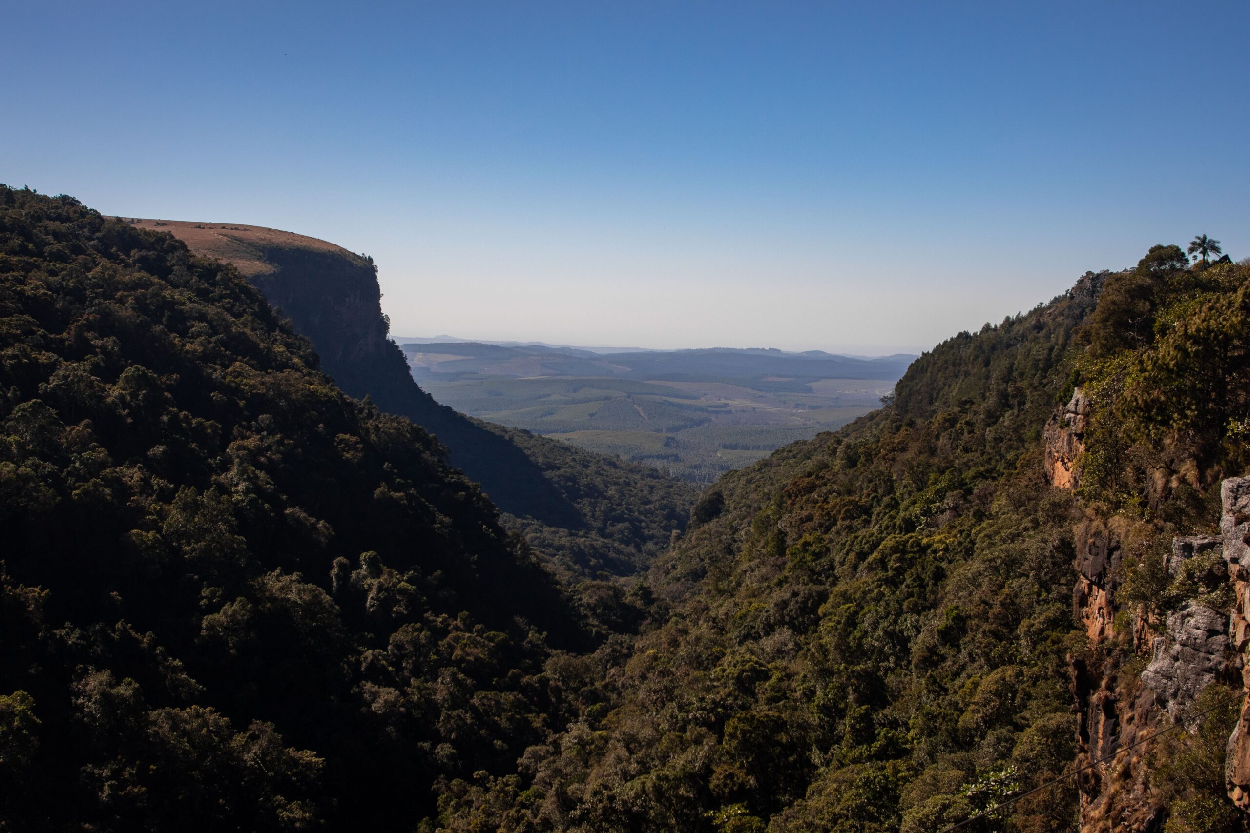
The Kruger to Canyons Biosphere Region (K2C) is one of southern Africa’s most remarkable landscapes. Recognised under UNESCO’s Man and the Biosphere Programme, it stretches from the high escarpment of the Drakensberg Mountains in the west to the world-renowned Kruger National Park in the east. Across this diverse landscape, grasslands, forests, savannas, rivers and mountain ecosystems create an ecological corridor that supports exceptional biodiversity and provides critical ecosystem services to people across the region.
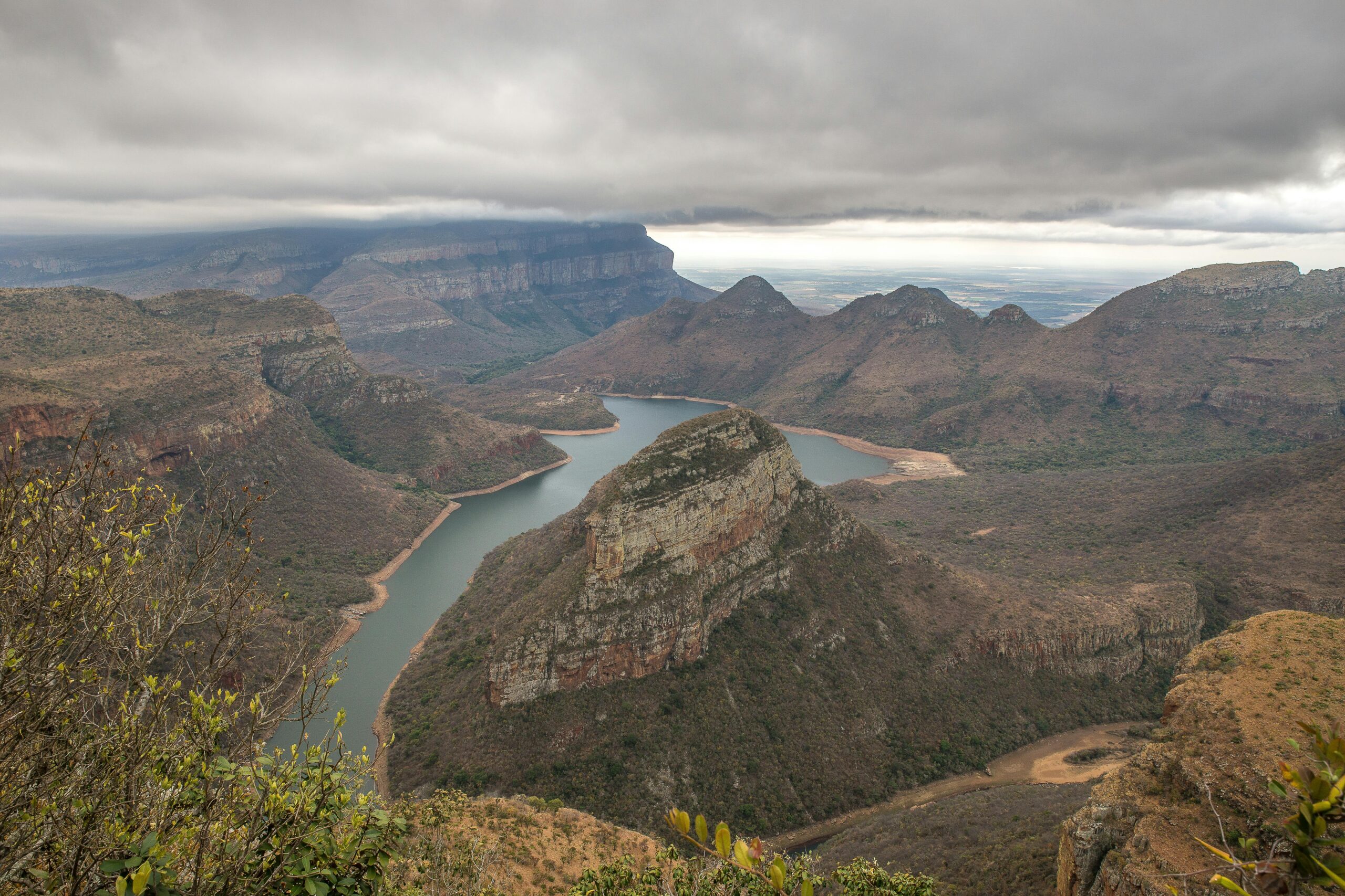
At the heart of this landscape lies the Blyde River Catchment, a vital source of water that sustains ecosystems, agriculture, tourism and rural livelihoods. Originating in the high-rainfall escarpment, the Blyde River flows eastwards into the Olifants River system, helping sustain aquatic ecosystems within the Kruger National Park and contributing to downstream water flows into Mozambique.
The region is home to more than 1,500 recorded plant species, important wildlife populations and globally significant bird species, including the White-backed Vulture and Pel’s Fishing Owl. At the same time, it supports commercial agriculture, particularly citrus and mango production, alongside tourism enterprises and rural communities whose livelihoods depend on healthy ecosystems and reliable water supplies.
The Blyde River Catchment forms part of the Mpumalanga Drakensberg Strategic Water Source Area, one of South Africa’s most important water-producing landscapes. Although Strategic Water Source Areas occupy a relatively small portion of the country’s land surface, they generate a significant share of South Africa’s surface water resources. Protecting these landscapes is therefore essential not only for local communities but also for downstream economies, ecosystems and water users.
Healthy catchments perform critical functions that are often invisible but invaluable. They regulate water flows, reduce erosion, support biodiversity, recharge groundwater, improve water quality and strengthen resilience to climate variability. When these systems become degraded, the impacts are felt far beyond the catchment itself.
Despite its ecological and economic importance, the Kruger to Canyons landscape faces increasing environmental pressures that threaten long-term ecosystem functioning and water security.
Key challenges include:
Together, these pressures contribute to biodiversity loss, declining ecosystem health, sedimentation in dams and reduced water security across the catchment. If left unaddressed, these impacts could affect agricultural productivity, tourism, biodiversity conservation and the long-term sustainability of downstream water resources.
ReLISA is supporting restoration efforts across priority areas of the Blyde River Catchment to improve ecosystem functioning and strengthen the resilience of this important water source landscape. The project focuses on restoring degraded rangelands, improving catchment health and addressing key drivers of ecosystem degradation. Through a combination of scientific assessments, on-the-ground restoration activities and collaborative governance approaches, partners are working to create lasting benefits for both people and nature.
A particular focus is the restoration of approximately 1,250 hectares of degraded rangelands and catchment ecosystems, where interventions can improve water security, reduce erosion, enhance biodiversity and strengthen livelihood opportunities. The project demonstrates how nature-based solutions can contribute to healthier landscapes while generating measurable benefits for communities, ecosystems and local economies.
A distinguishing feature of the Kruger to Canyons project is its focus on developing sustainable financing mechanisms for restoration.
ReLISA is supporting the consolidation and strengthening of an existing Catchment Investment Programme (CIP), often referred to as a Water Fund approach. The programme aims to bring together public, private and development-sector partners around a shared vision for catchment restoration and water security.
Key activities include:
By linking ecosystem restoration with water security outcomes, the Catchment Investment Programme seeks to create a scalable model for financing nature-based solutions across South Africa and beyond.
The Kruger to Canyons project combines restoration interventions with science-based planning and long-term investment strategies.
Key approaches include:
These include:
These activities will help demonstrate how targeted restoration interventions can generate measurable improvements in ecosystem health and water security.
Restoring a landscape as ecologically important and socially complex as Kruger to Canyons requires strong partnerships and shared stewardship. The project brings together conservation organisations, government agencies, research partners, communities and international institutions to support long-term catchment restoration and sustainable landscape management.
Key partners include:
GPS
-23.9497, 30.8501
Lead Partner(s)
UNESCO, CSIR, C4ES, Unique
Biome
Savanna
Hectares
2,902,848 ha
Land Use (%)
Mixed protected reserves, production land
People/Households
Dependent
~1.65M residents
Protected
Areas (%)
Core/buffer protected
Ecosystem
Services
Biodiversity corridor, carbon sequestration, water regulation
Strategic Water
Source
Yes
Degradation
Challenges
Agriculture expansion, poaching, invasives
Restoration Actions
Corridor restoration, invasive species control, sustainable land use
Economic Opportunities
Nature-based tourism, carbon/biodiversity markets
SDG Links
SDG 1, 6, 8, 11, 13, 15
Investment Potential
Carbon & biodiversity credits, alien clearing jobs, catchment stewardship
Heritage Sites
Kruger National Park (part of WHS tentative list)